Background
From July 26 to July 30, 2022, upwards of 14-16 inches of rain fell in the Upper Kentucky River Basin area, which led to significant flooding on many rivers in eastern KY. Entire homes and parts of some communities were swept away by flood waters, leading to 39 deaths and widespread catastrophic damage to infrastructure in the region. Nearly 9,000 homes were damaged or destroyed by the flood. According to the Ohio River Valley Institute, the cost to fully recover lost housing is estimated to be in the range of $450-900 million. This event followed severe flooding that also impacted the region in March of 2021.
Since this event, USACE has been working to utilize existing authorities and funding to gather data and develop models for the Upper Kentucky River Basin. Federal disaster assistance has been made available to the Commonwealth of Kentucky to supplement state, tribal and local recovery efforts in the areas affected by severe storms, flooding, landslides and mudslides
Eastern Kentucky, Upper Kentucky River Basin General Investigation Feasibility Study
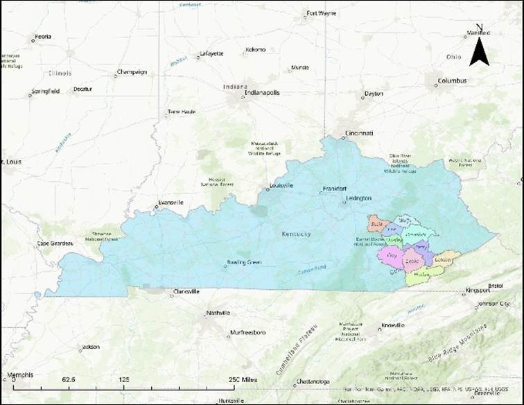
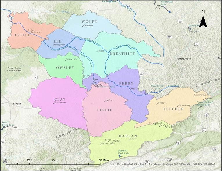
USACE is currently scoping a Flood Risk Management study in partnership with the Ky Division of Water and 10 local counties that will provide a foundational strategy to reduce flood risk to this ten-county area. There has been broad engagement by the state and other federal agencies in the region following the 2022 Flood Event. The initial scoping for the Eastern Kentucky, Upper Kentucky River Basin Feasibility Study will require a robust understanding of planned work by other partners.
This study was authorized by Congress pursuant to the Section 8201(a)(31) of the Water Resources Development Act (WRDA) of 2022, Pub. L. No. 117-263, 136 Stat. 2395 (2022). This project will investigate flood risk management on the Kentucky River and its tributaries and watersheds in Breathitt, Clay, Estill, Harlan, Lee, Leslie, Letcher, Owsley, Perry and Wolfe counties, Kentucky.

